


ERDAS Imagine
Satellite image and terrain analysis.

ENVI
Multispectral and radar interpretation.

ArcGIS
Spatial modeling and geodatabase .

QGIS
Open-source remote sensing platform.
SNAP Toolbox
Sentinel satellite data processing.

MATLAB
Image correction and pattern detection.

GDAL
Geospatial raster and vector transformation.

Data Analytics
Planetary-scale monitoring platform.

102+
Happy Students


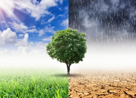


Image Preprocessing
Correct distortions in satellite imagery data.

Spectral Indexing
Use NDVI, NDWI, and NDBI indices for land detection.

Object Classification
Segment images for detailed land cover classification.

Time-Series Analysis
Monitor surface changes using multi-temporal imagery.

Topographic Mapping
Generate elevation models from LiDAR, SRTM.

Geospatial Visualization
Render maps with ArcGIS, QGIS, Earth Engine.
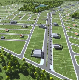
Land Classification
Generated high-accuracy maps using supervised classification imagery.
Change Detection
Analyzed urban growth over a 20-year period using multi-date datasets.
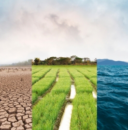
Disaster Mapping
Assessed high-risk flood-prone zones with NDWI and elevation overlays.

Published Work
Remote sensing-based climate study accepted in a Springer environmental journal.